
Kansas City ZIP Coverage
The core directory starts with codes that official USPS routing material associates with Kansas City, Kansas. The table is a research index, not a promise about every delivery point. “Core” means the code belongs in a Kansas City search. “Edge” means an exact address lookup is essential because routing or last-line labels may differ.
| ZIP | Areas covered | Post office anchor | Directory note |
|---|---|---|---|
| 66101, 66102 | Central Kansas City postal group | Central routing group | 66102 has recent routing changes |
| 66104 | Core Kansas City | Robert L. Roberts | Verify the complete delivery point |
| 66106 | Core Kansas City | Kansas City routing group | Recent last-line change material exists |
| 66109-66113 | Core Kansas City research codes | Wyandotte West for 66112; Muncie for 66111 | Address-level result controls |
| 66115, 66117-66119 | Core or edge Kansas City | Packers history for 66119 | Check current routing |
| 66103, 66105, 66160 | Edge or historical KCK-related codes | Mission routing group in the inspected list | Last-line city may differ |
| 66007, 66012, 66216, 66217 | Nearby values in county GIS | Not core KCK codes here | GIS presence is not delivery proof |
The August 2025 USPS label list grouped 66101-66102, 66104, 66106, 66109-66113, 66115, and 66117-66119 under Kansas City KS 66101 routing. It placed 66103, 66105, and 66160 in a Mission KS 66205 group. That contrast is the central caution for the Kansas City ZIP code directory.
Verify Kansas City ZIP Codes
USPS is the source for a deliverable ZIP. Enter the complete street address in the USPS ZIP Code Lookup, then save the returned ZIP or ZIP+4, last-line city, state, and search date. Do not infer a code from the first three digits, a map color, or the city name printed in an older source.
When the USPS tool does not resolve, check unit text, street direction, suffix, and spelling. Compare the input to the Unified Government Appraiser property address. A parcel card may preserve an official situs label that makes the postal query work. If the two sources still disagree, retain both outputs with dates rather than silently selecting one.
Note: USPS routing can change, so a saved ZIP result should always include the day it was checked.
Kansas City Routing Groups
The official L007 label list is useful because it shows routing groups rather than municipal boundaries. A processing group can collect several codes under one label while an edge code uses a neighboring label. That makes it evidence about mail handling, not a polygon for Kansas City government.
Review the USPS L007 label list captured for this directory.
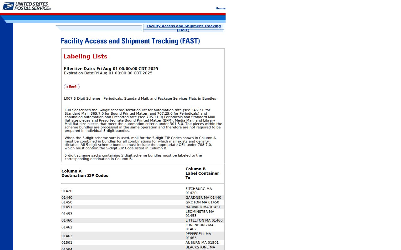
The dated list helps explain why a 661xx search is too broad. A current address lookup must still decide the correct delivery code and last line.
Find Kansas City Residents by ZIP
A ZIP narrows geography, but it does not identify a household. Use the code as a filter or comparison field, then verify the person or property in the official source that owns the record. The Appraiser and GSS systems are strongest for parcel geography. VoterView is an individual registration and polling lookup, not a downloadable public directory of everyone inside a code.
- Verify the full address through USPS and record the exact ZIP and last-line city.
- Search the Unified Government Appraiser by address. Save the property ZIP, situs, parcel ID, and legal description.
- Compare the result with the GSS ZIP and parcel layers. Record the layer name, query date, and any mismatch.
- Use Kansas VoterView only for its intended current voter lookup and polling functions.
- Once a code has narrowed the area, move to the Kansas City street directory for parcel-level work.
State voter-data requests have their own form, allowed selections, prices, and use rules. A ZIP-wide resident list should not be inferred from a polling-place search or a county map.
Kansas City ZIP Search Fields
Each official source asks a different question. A compact field inventory prevents a postal result from being mistaken for a municipal or statistical result.
| Source | Input or field | Output to save | Meaning |
|---|---|---|---|
| USPS | Street address, city/state or ZIP | Deliverable address, last line, ZIP+4 | Current mail routing |
| Appraiser | Address, name, parcel, Quick Ref ID, Clerk ID, KUPN | Situs, mailing, parcel, legal description, ZIP | Tax and property record |
| GSS GIS | Address, parcel, map or geometry | ZIP layer, parcel shape, street and boundary layers | Mapped county geography |
| VoterView | Individual voter details or residence for polling lookup | Registration or polling information shown | Election lookup, not a ZIP roster |
| Census | ZCTA geography | Statistical area and data | Approximation, not delivery ZIP |
The Appraiser’s separately labeled mailing and situs addresses deserve special care. The mailing ZIP can belong to an owner’s contact destination while the property sits in another code. Use the property address for parcel geography and USPS for delivery.
Kansas City ZIPs and City Limits
The postal last line can reflect routing rather than legal city limits. A Kansas City parcel may use a neighboring postal label, and a county GIS ZIP layer may include codes reaching outside the municipality. Keep three fields distinct: municipal city, postal last line, and USPS ZIP. Cite the source for each.
Edge codes 66103, 66105, and 66160 deserve added care because the inspected USPS routing list groups them with Mission. Nearby values 66007, 66012, 66216, and 66217 appear in Unified Government GIS data, but that presence does not make them core Kansas City delivery codes. Conversely, a code in the Kansas City routing group does not prove that every address falls within the city boundary.
Boundary rule. A ZIP Code is a mail route, not a legal boundary. Confirm Kansas City jurisdiction with official municipal or parcel geography.
Kansas City ZIPs Versus ZCTAs
The Census Bureau builds ZIP Code Tabulation Areas, or ZCTAs, to approximate ZIP geography for statistics. USPS delivery codes are operational routes that can change. A ZCTA is therefore suitable for demographic comparisons when labeled correctly, but it cannot validate a deliverable address or ZIP+4.
Read the Census Bureau ZCTA guidance before comparing Kansas City data.
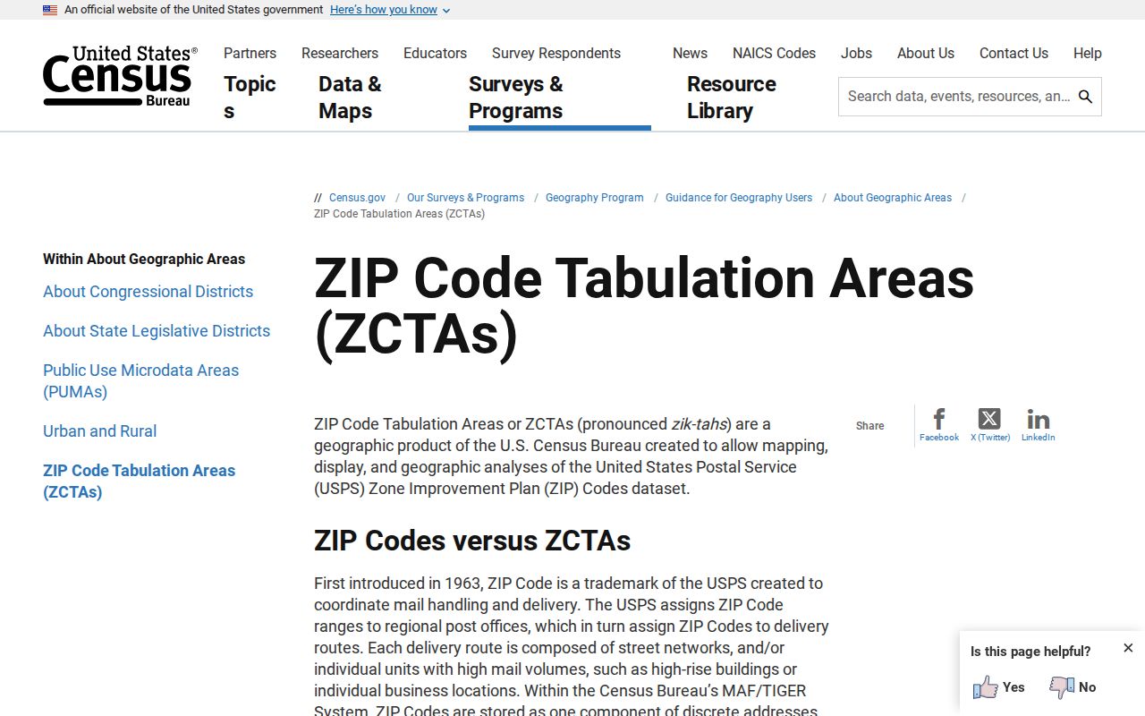
The guidance explains why a statistical polygon should be labeled ZCTA rather than presented as a USPS delivery boundary.
- ZIP Code
- A USPS routing code assigned to delivery addresses.
- ZIP+4
- A more precise delivery segment added to the five-digit code.
- PO-box ZIP
- A code used for post-office-box delivery, sometimes apart from street delivery.
- Unique ZIP
- A code assigned to one high-volume organization or destination.
- Carrier route
- A group of delivery points served by a postal carrier.
Kansas City Postal Anchors
Post offices can anchor a postal search without defining everyone who uses a code. USPS location data identifies Robert L. Roberts Post Office at 3115 N 51st Street with 66104-9998, Wyandotte West at 1310 N 78th Terrace with 66112, and Muncie at 6540 Kaw Drive with 66111.
These are facility addresses, not resident lists or exact service polygons. Use them to confirm the official name of a station, locate a postal contact, or interpret routing history. For a home, business, cemetery, or public building, the exact address result still controls.
The distinction is especially useful on the west and south edges of Kansas City, where a familiar community label, a postal station, and a current city boundary may not share one outline.
Kansas City Before ZIP Codes
Modern ZIP Codes should not be added to records created before their introduction. Older Kansas City sources may use Wyandotte, Armourdale, Argentine, Rosedale, a post-office branch, or a rural route. The 1886 consolidation, Argentine’s 1909 annexation, and Rosedale’s 1922 annexation help explain why those labels persist in directories and newspapers.
For an old address, search KSHS post-office records, city directories, KCKPL newspapers, Sanborn maps, and county museum maps. First establish the street, community, and date. Then bridge the historical lot or legal description to a current parcel. Only after that should a current ZIP be recorded as present-day context.
This procedure keeps a useful modern locator from becoming a false historical claim. It also reveals when the same place moved through several municipal and postal names.
Resolve Kansas City ZIP Conflicts
Conflicts are normal when sources answer different questions. Build a short worksheet with the complete input address, USPS output and date, Appraiser situs and mailing fields, GSS ZIP layer value, municipal boundary result, and any historical label. Mark each value as delivery, parcel, map, statistical, or historical evidence.
If USPS and the parcel card disagree, check unit text and directional forms first. If USPS and GIS differ, confirm the GIS layer date and whether the point falls near an edge. If a historical directory differs, do not overwrite it. Search predecessor-city names and old post-office records, then explain the time change.
A responsible Kansas City ZIP code directory reports unresolved differences rather than forcing one label across all systems. Live property, voter, GIS, and routing data can change, so retain access dates and return to the official custodian before relying on a result.