
Kansas City Block Lookup Sources
Public records describe the geography around Kansas City neighbors, but they do not create a verified household roster. The Unified Government parcel layer shows lot geometry. The Appraiser labels owners and separates mailing from situs, or street-facing, addresses. A neighborhood polygon identifies a mapped civic group. Each source answers a narrow question and needs its date and limitation recorded.
| Source | What It Shows About a Block | Access |
|---|---|---|
| UG parcel and address layers | Lot shapes, parcel IDs, streets, public owner labels | Free GIS services |
| UG Appraiser | Owner, mailing address, situs, legal description | Free property search |
| Neighborhood Groups layer | Named civic-group polygons and nearby groups | Free public layer |
| VoterView and election office | Individual registration route and polling geography | Official lookup; copy rules apply |
| Directories, maps, newspapers | Dated block residents, buildings, and local events | KCKPL, KSHS, museum |
An owner label is not an occupant list. A mailing address may point elsewhere, and a neighborhood boundary does not prove membership. Define nearby before searching: shared parcel edge, same block face, a stated map distance, or touching civic-group polygons. That rule keeps the results consistent and prevents a ZIP or neighborhood name from being mistaken for physical adjacency.
Kansas City Neighborhood Polygons
The official hosted layer carries a display field called name, polygon geometry, and query controls. Visible group names include Block Hawks Neighborhood Watch Association, Brooks-Eyes, Caring Neighborhood Association, Carriage Hills, Cathedral Neighborhood Association, Countryside West HOA, and Crosslines. These names are public research leads, not membership rolls.
| Public group clue | Responsible use |
|---|---|
| Polygon contains the parcel | Describe mapped coverage and the layer date |
| Adjacent group boundary | Compare civic geography without attaching residents |
| Group name | Search public meetings, library newspapers, and city files |
| Livable Neighborhoods contact | Ask about organizing resources and public group information |
View the Unified Government Neighborhood Groups layer. 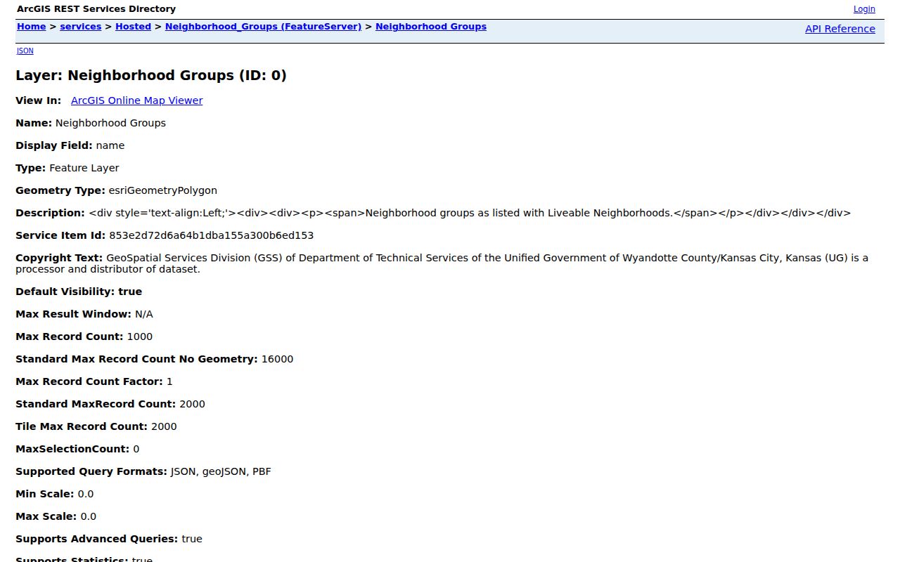 The captured layer shows the public name field and polygon service that support a civic-geography check.
Kansas City GIS Layers Explained
Unified Government GIS separates parcels, owner names, property addresses, streets, ZIP areas, wards, precincts, cemeteries, and neighborhood groups into layers. Combining them can explain a block, but the meaning of each field must stay distinct. Parcel lines are public mapping aids, not precision boundary surveys. Owner names come from property records, not a household census.
Inspect the public GIS layer index before selecting a layer. 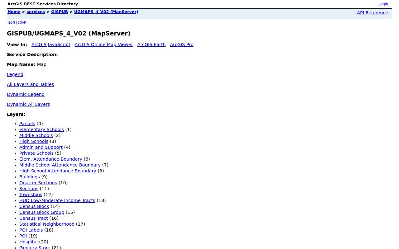 The index makes the source boundaries visible and helps prevent an owner field from being confused with a resident field.
The broader Unified Government GIS service directory lists the available map services. 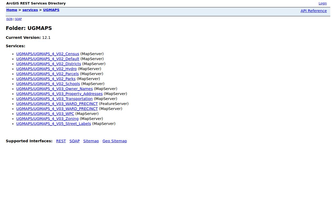 This second capture helps a researcher choose the correct service before opening a detailed layer or query.
Map Kansas City Neighboring Parcels
Start from one verified street address and walk outward through the parcel geometry. Record the map date and the chosen boundary rule before collecting any adjoining parcel IDs.
- Verify the deliverable address, then locate it through the Appraiser or UG property-address layer.
- Capture the subject parcel ID, street-facing address, legal description, and map date.
- Select parcels that share a boundary or face the same block, and record parcel IDs rather than compiling personal profiles.
- Compare mailing and situs labels. Do not infer that the owner lives on the parcel.
- Check the neighborhood polygon and public places only after the parcel set is fixed.
This gives a small, reproducible view of Kansas City neighbors. A whole named street requires the broader Kansas City street directory method, which follows address records beyond the immediate block.
Mailing Versus Kansas City Situs
A sampled Appraiser card shows why nearby owners cannot be equated with nearby occupants. The owner mailing address and the primary property address may differ. Situs means the physical location of the parcel. Mailing is where tax correspondence goes. Keep both field labels and never silently substitute one for the other.
Legal description, parcel number, and book/page can confirm which land record belongs to the lot. They still do not establish who sleeps there, belongs to a civic group, or knows the people next door.
Kansas City Civic Group Contacts
Livable Neighborhoods is the public umbrella for the mapped group layer. Its organizing guide lists 4953 State Avenue, Kansas City, KS, 913-573-8737, and livableneighborhoods@wycokck.org. A group name can also be checked through public meeting records, the Kansas Secretary of State entity search, or library newspapers.
Livable Neighborhoods
Public organizing guidance and group information
4953 State Avenue
913-573-8737
KCKPL Kansas Room
Local newspapers, maps, photographs, directories, and staff research help through KCKPL Genealogy.
A public group polygon is only a contact and boundary lead. It does not prove that a Kansas City resident joined, attended, endorsed, or represents the group.
Historical Kansas City Neighbors
Older blocks call for dated sources. Sanborn maps show building footprints and street layouts. City directories place listed names at addresses. Census ward volumes, newspapers, museum owner-name maps, and KCKPL photographs add context. A 1920 street can differ from a current parcel map because lots, street numbers, and municipal boundaries changed.
Search predecessor place names such as Argentine, Rosedale, Quindaro, and Wyandotte when modern Kansas City wording produces no result. Keep every historical name tied to its year and page. Do not translate an old directory entry into a claim about present-day neighbors.
Official Rolls or Commercial Tools
Official sources state what office created the record, which field is displayed, and when it was updated. Commercial neighbor tools may merge stale address, phone, or marketing data without showing the source date. Convenience cannot replace provenance.
| Approach | Strength | Key limit |
|---|---|---|
| UG parcel and GIS records | Named public custodian and mapped geometry | Ownership and mapping are not occupancy |
| Election and public association sources | Official geography or public group context | Access, privacy, and membership limits |
| Commercial category | May combine many clues quickly | Source dates and corrections can be unclear |
Kansas City Neighborhood Group Map
The official Neighborhood Groups layer adds a civic boundary after the parcel set is fixed. Its display field is the public group name, and the service provides query, geometry, and output controls. The layer describes groups connected with Livable Neighborhoods. It does not prove that every household inside a polygon is a member, attends meetings, or shares the group's views.
Search the verified address in the property layer first. Then compare its point or parcel with the neighborhood polygon and record the map date. If the parcel touches two polygons or sits outside one, preserve that result. Public examples in the layer include block-watch, neighborhood-association, and HOA names, but the label is community context rather than a private resident directory. Use the Unified Government organizing guide and public meeting records for current contact channels instead of collecting personal names from unrelated sources.
A group boundary can guide further local-history work. Search the public name in KCKPL newspapers, the digitized Kansas Collection, Unified Government records, and public meeting materials. A dated article may explain a park project, street issue, flood response, or neighborhood name. Cite the event and publication date. Do not attach a resident to the group unless the public source expressly does so and the use is lawful.
Kansas City Blocks Through Time
Today's block does not always match the place described in an older directory. Kansas City consolidated with Wyandotte and Armourdale in 1886, Argentine joined in 1909, and Rosedale joined in 1922. Quindaro and other predecessor names remain useful catalog terms. A historical source may also use a branch post office or old street form. Search every period name before deciding that an address disappeared.
Sanborn maps held by the Kansas Historical Society provide dated place evidence for 1885, 1889, 1907, 1908, 1917, 1931, later 1931 updates, 1963, and 1968. They show streets, structures, and uses, not a list of neighbors. Pair a map sheet with a city directory entry, census index, newspaper, or deed. Keep the map year and directory year separate, since a building and a listed household can change at different times.
KCKPL's Kansas Room holds local newspapers, maps, atlases, yearbooks, photographs, and special collections. The Wyandotte County Museum lists city and telephone directories, obituaries, cemeteries, historic plats, probate material, and photographs, with gaps. Ask each desk for an exact street, cross street, predecessor community, and date range. For federal census, naturalization, bankruptcy, or court context, the National Archives at Kansas City is a separate appointment route.
Historical neighborhood research should end with a dated statement, not a current claim. Write that a named person appeared at an address in a specific source and year. If the next available directory changes the entry, report both snapshots. If no page or image can be inspected, cite the catalog holding and label the result a gap.
Kansas City Neighbor Privacy
Utility accounts, delivery data, and private household details are not a public neighbor roll. Kansas voter-copy rules remove protected identifiers, and K.S.A. 25-2309 provides a route for voter address concealment. The Kansas Attorney General's Safe at Home program offers eligible participants a substitute address and mail forwarding. A missing or substituted address may be a lawful safety feature.
Lawful use. Research Kansas City neighbors for civic, historical, or personal purposes. Never use maps or public records to watch, harass, intimidate, or harm a person.