
Kansas City Previous Resident Records
Different sources reveal different parts of a Kansas City address trail. Start with the period closest to the present, then move toward older deeds, maps, and resident lists. A source date is essential because no row proves that a person stayed before or after that snapshot.
| Source | Years It Covers | Where Held | What It Shows |
|---|---|---|---|
| Current parcel card and GSS map | Current, dated result | UG Appraiser and GIS | Parcel, situs, legal description, owner label |
| Recorded deeds | Territorial period onward; KSHS series 1859-1901 | Register of Deeds and KSHS | Transactions, parties, legal description |
| City directories | Observed KCK rows 1886-87 through 1992, with gaps | KSHS, KCKPL, museum | Dated resident and address entries |
| State census indexes | 1855-1925 | KSHS | Names and ward context |
| Sanborn maps | 1885 through 1968 in listed KCK sets | KSHS | Buildings, lots, streets, and uses |
| Newspapers and obituaries | Varies; museum obituary files 1850-2009 with gaps | KCKPL and museum | Dated events and household context |
Use the parcel and deed chain for title, directories and census for occupants, and maps for place continuity. If the current address fails in an old source, switch to the legal description or predecessor-city name.
Create one worksheet row for every source date. Record the name and address exactly as printed, the parcel or legal-description field, the custodian, and any conflict. A current tax card, recorded transaction, directory entry, and map label have different evidentiary weight. Keeping them in separate rows prevents an owner label from silently becoming an occupant claim.
Start Kansas City Resident Records
The current Appraiser card provides a parcel number, map number, legal description, book/page reference, owner label, mailing address, and situs address. Situs means the property's physical address. Those fields are starting points, not proof of who occupies the building.
Copy the legal description exactly, then compare it with the parcel polygon and plat layer. A stable lot and block phrase can survive changes in a resident's name or street number. If the parcel was split or combined, preserve both the old and current identifiers. The full modern address workflow belongs in the street directory, while the backward trail continues with the recorded instruments.
Keep the roles separate. The Appraiser maintains tax records, GIS maps geometry, and the Register of Deeds holds recorded land instruments.
Trace Kansas City Resident Deeds
A chain of title is the sequence of recorded transfers affecting one parcel. Begin with the current card, but verify each step in the deed itself. Search both party directions, since the buyer is the grantee and the seller is the grantor. Keep the instrument date and recording date in separate columns.
- Copy the current parcel, legal description, and book/page from the Appraiser card.
- Ask the Register of Deeds for the current purchase instrument or inspect the public index.
- Record grantor, grantee, legal description, document type, dates, and reference number.
- Search the seller as a prior grantee and confirm the same legal description.
- Repeat the link, noting probate, correction, foreclosure, mortgage, release, easement, and plat records separately.
- For 1859-1901, continue in the KSHS grantor/grantee microfilm series.
- Grantor and grantee
- The grantor transfers an interest; the grantee receives it.
- Chain of title
- The linked sequence of recorded instruments for the same land.
- Legal description
- The lot, block, subdivision, or survey wording that identifies land more reliably than an old street label.
The current remote grantor/grantee index was not located during research. Use the Register of Deeds counter, phone at 913-573-2841, a focused KORA request when suitable, or the historical microfilm rather than inferring a transfer from the tax card.
A deed chain can pass through an estate, entity, tax action, correction, or family transfer. Note the instrument type instead of treating every recording as a sale. A mortgage or release may affect the parcel record without changing ownership or occupancy. When names differ but the lot wording matches, inspect the image and any referenced prior instrument before linking the rows.
The KSHS historic deed catalog describes the 1859-1901 Wyandotte series.
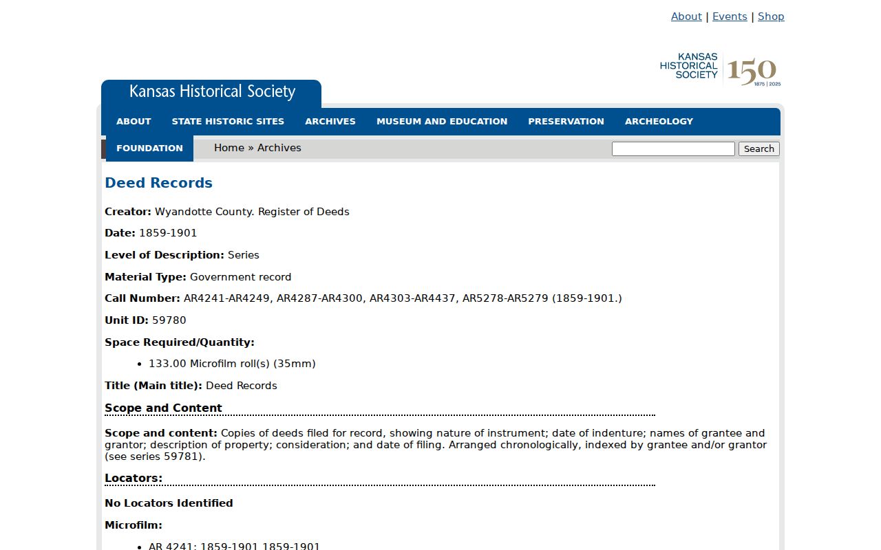
The 133-roll series records parties, property description, consideration, filing date, and instrument type.
Map Kansas City Resident Addresses
Sanborn fire-insurance maps can show the building, lot, street grid, and use around an address at a fixed date. KSHS lists Kansas City and Wyandotte coverage for 1885 and 1889, followed by 1907, 1908, 1917, 1931, later 1931 updates into the 1950s, 1963, and 1968. These are place records, not resident indexes.
The KSHS Sanborn map list supplies the city, year, volume, and call-number trail.
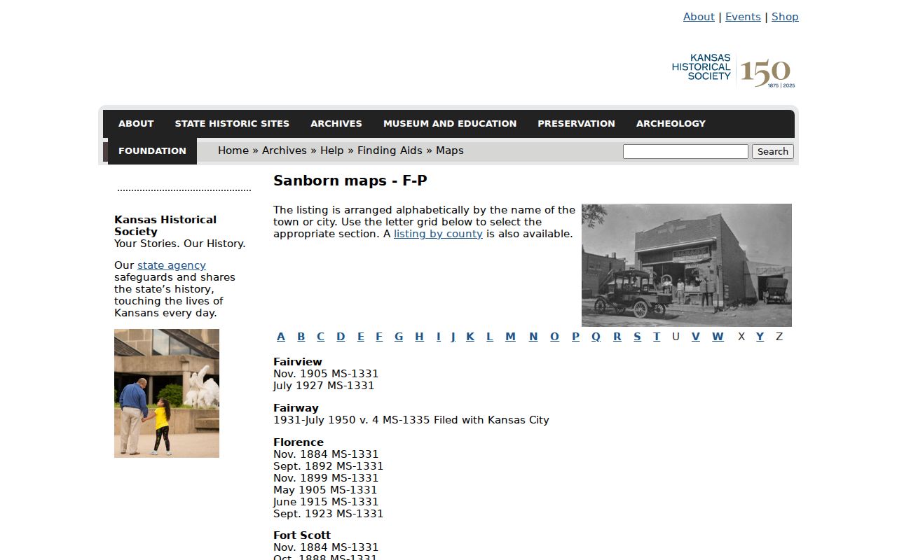
Compare the map lot with the deed's legal description and current parcel geometry. A matching street number alone is weaker, especially where annexation or renumbering changed the label.
Older Kansas City Resident Places
Kansas City's record geography changed in stages. Wyandotte County dates to 1859. Kansas City consolidated with Wyandotte City, Armourdale, Armstrong, and Riverview in 1886. Argentine was annexed in 1909, Rosedale in 1922, and major annexations followed in 1965-66 and 1972. The Unified Government formed in 1997.
Search Quindaro, Wyandotte, Armourdale, Argentine, Rosedale, and the modern Kansas City label. A deed may retain an old legal phrase while a directory uses a predecessor city and today's postal result uses Kansas City, Kansas. Those labels are not automatically conflicts. They represent different dates and systems.
The KSHS Wyandotte County profile gives county-level historical orientation.
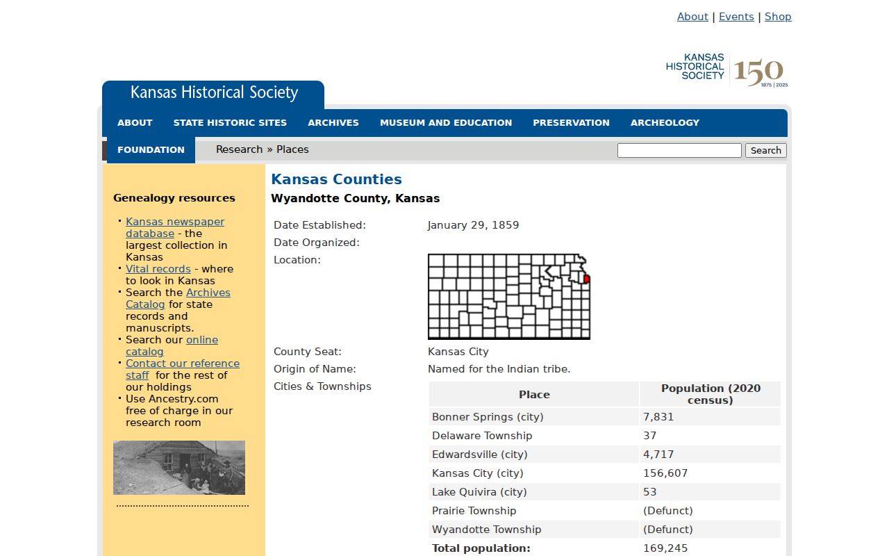
Use the profile for context, then cite the individual deed, map, directory, or census row for a person-address link.
Post-office evidence adds another bridge. KSHS records Kansas City as established from Wyandotte in 1885, and Edwardsville became a Kansas City branch in 1971. A postal label can therefore change even when the parcel stays in place. Match the date of the label to the date of the directory or newspaper before deciding that two forms describe different properties.
Kansas City Resident Archive Fallbacks
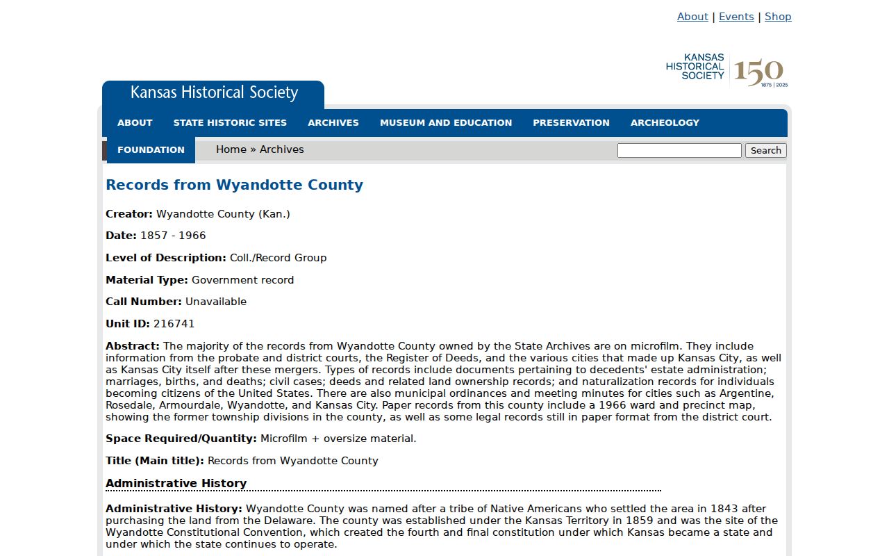
The KSHS Wyandotte archive covers deeds, courts, naturalization, marriage, birth, death, municipal, and other county records. Much of the collection is microfilm from 1857-1966. It can bridge years that a current county portal does not expose.
The Wyandotte County archival record guide is the route into those grouped series.
The Wyandotte County Museum is another key fallback. It lists directories, phone books, obituaries, maps, photographs, probate material, and cemetery files. Contact archives@wycokck.org or 913-573-5002 and verify current hours and fees, since the published fee sheet is dated.
A strong archive request includes the street, present and earlier community names, a date range, legal description when known, and the sources already checked. Ask whether the answer comes from an index, original page, copy, or staff note. Preserve the archive's wording and any stated gap. That practice makes the result repeatable and prevents an old fee sheet or incomplete list from being presented as current fact.
Kansas City Past Resident Records
Some previous residents lead beyond local records. NARA Kansas City holds federal court, census, bankruptcy, military, and naturalization material. Its finding aid identifies Kansas City, Kansas naturalization petitions from 1939-1970. Such a petition may explain a person who appears in a city directory but has little earlier local history.
The National Archives at Kansas City describes the regional facility and access planning.
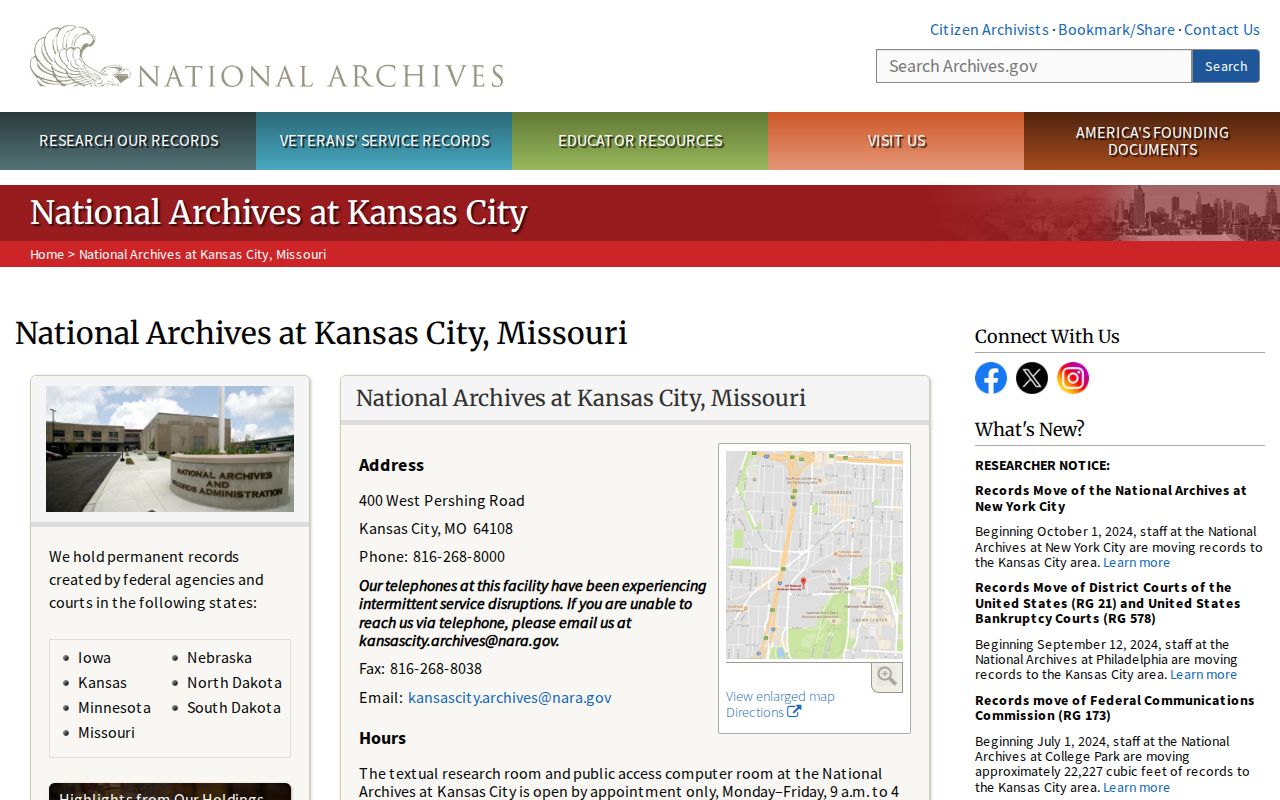
Use federal records as a separate evidence layer. A petition or court file can add identity and date context, but it does not by itself prove occupancy at a particular house.
Plan the request around a known federal record type and period. Bring the directory citation, full name as printed, likely dates, and any case or petition number already found. If the federal file gives a different address, preserve both dates instead of choosing the more familiar label. Naturalization, military, bankruptcy, and court series were created for distinct purposes, so their names and addresses should be read in that setting. When no relevant file appears, return to the local newspaper, census, museum, and directory sequence rather than assuming the person left Kansas City.
Kansas City Past Household Trail
Ownership is only half the question. A city directory can tie an adult name to an address in one edition, while a census can show a household within its own date and ward. KSHS census indexes cover 1855-1925. For 1905, Kansas City and nearby places are divided across volumes K-174 through K-180, so ward and predecessor-community context matters.
Use a simple flow: directory year to address, address to map, map to ward or lot, then census year to household. Search the next directory edition and a local newspaper before calling the match confirmed. The historical collection details and catalog fields are covered on the Kansas City city directory page.
Obituaries, cemetery material, and probate can close the trail when a name disappears. The museum lists obituary files from 1850-2009 with gaps and probate wills and inventories in varying years. KCKPL newspapers can supply a dated move, death, family notice, civic event, or business reference. Keep confirmed, probable, unresolved, and gap labels in the worksheet so a same-name result does not become a false occupant claim.
Lawful use. Research previous residents for family history, house history, and personal curiosity. Never use a historical trail to harass, threaten, or track a living person.